Donate
Home
MAHG
Calendar
Contact
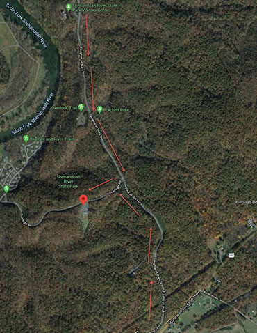
Click to Navigate via Google Maps